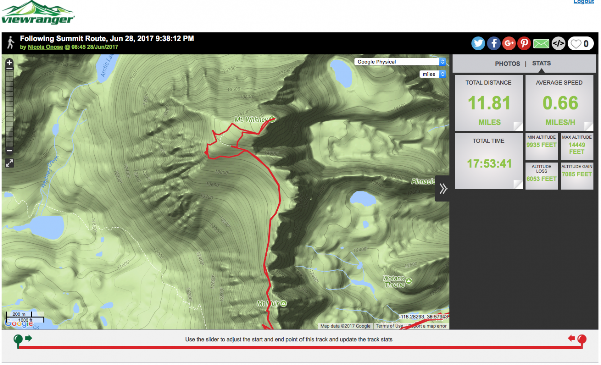
I've zoomed in on Nico's route using two different maps within View Ranger, and you can see how far Nico wandered from the trail. First is using Google Physical Map
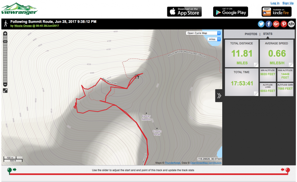
Second is using Open Cycle Map
You can also verify that these two maps fairly represent the trail by using Google Satellite Map. The trail is visible if zoomed fully in.
No wonder that Nico commented on the boulder field.


