It has been a long time since I was physically able to bag a peak.
So, here is the trip report, starting from sea level. None of this starting from nearly two miles up at the trailhead nonsense.
It's tougher than it looks, considering the Equatorial Bulge.
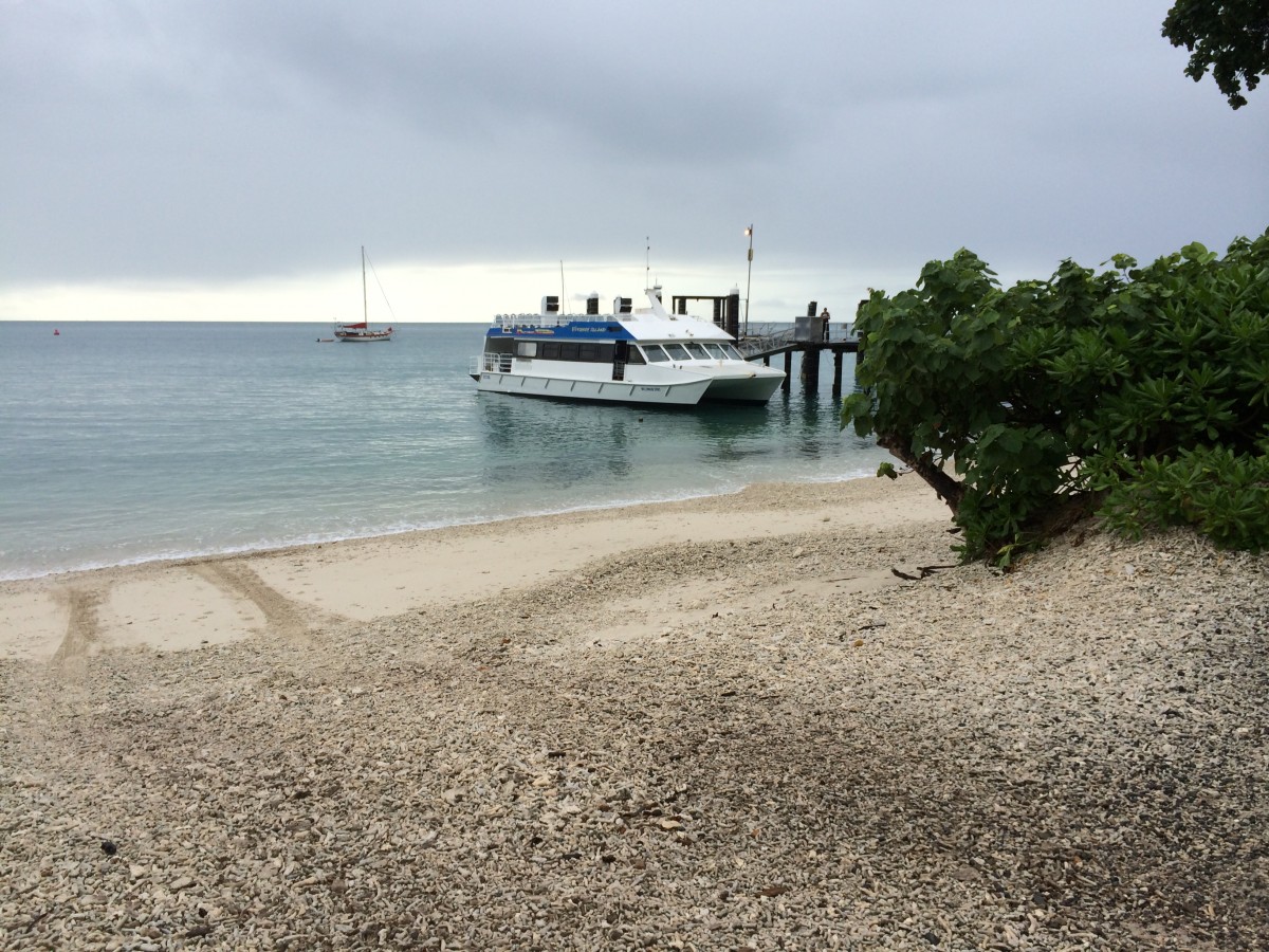
The trailhead. Our vehicle is on the right.
The tracks from the water are the result of landing trucks from an old WWII Landing Assault Ship, which delivers fuel and supplies to the Resort.
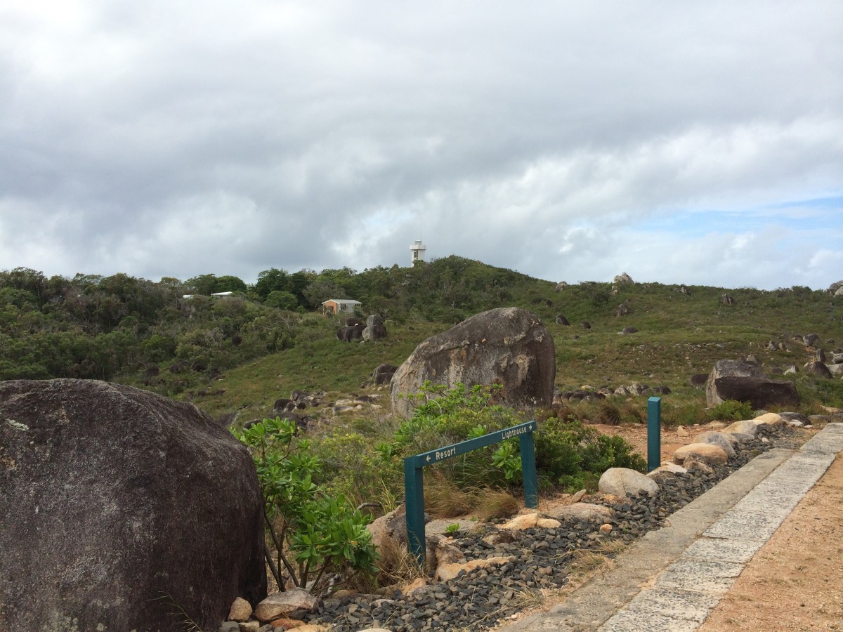
At the trail junction. I'll bushwalk to the lighthouse, then come back to this spot to attempt the summit.
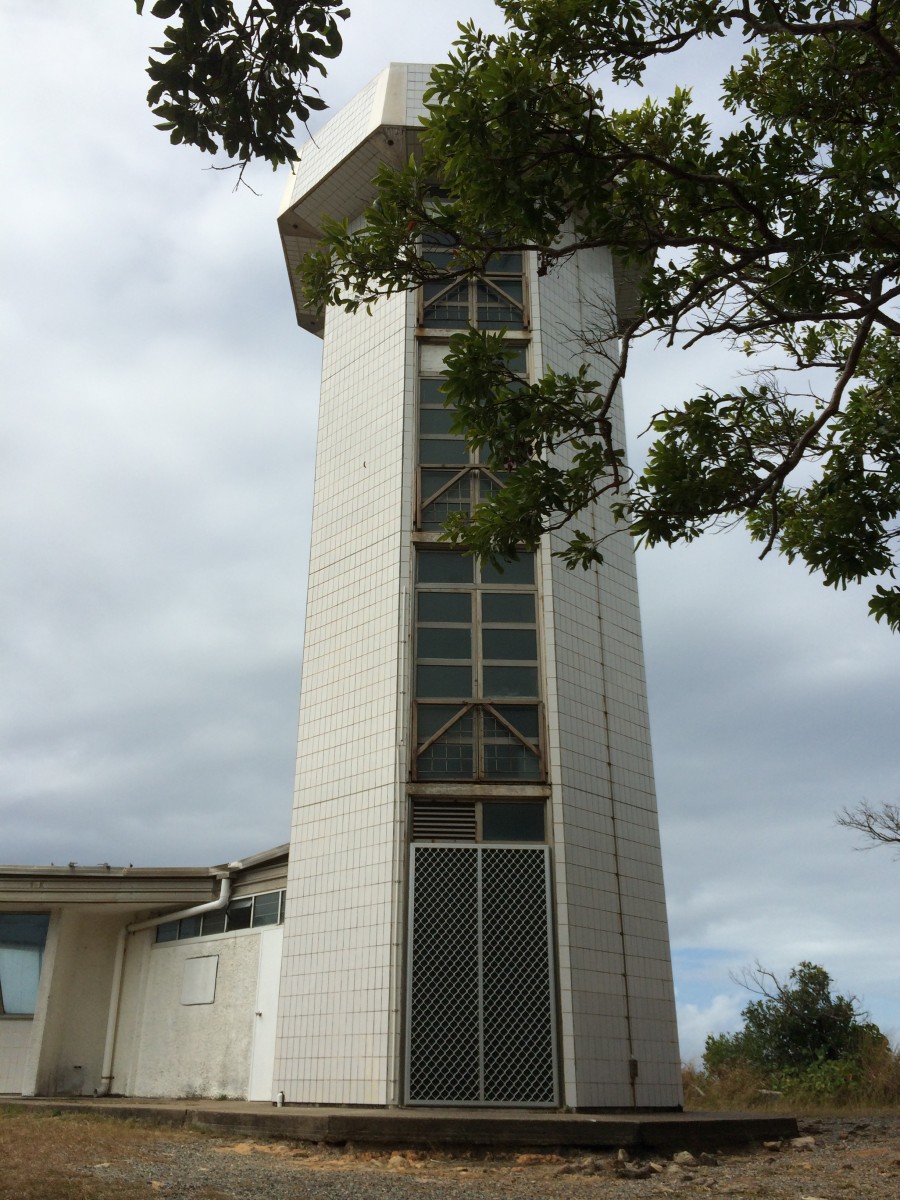
An informative sign at the lighthouse.
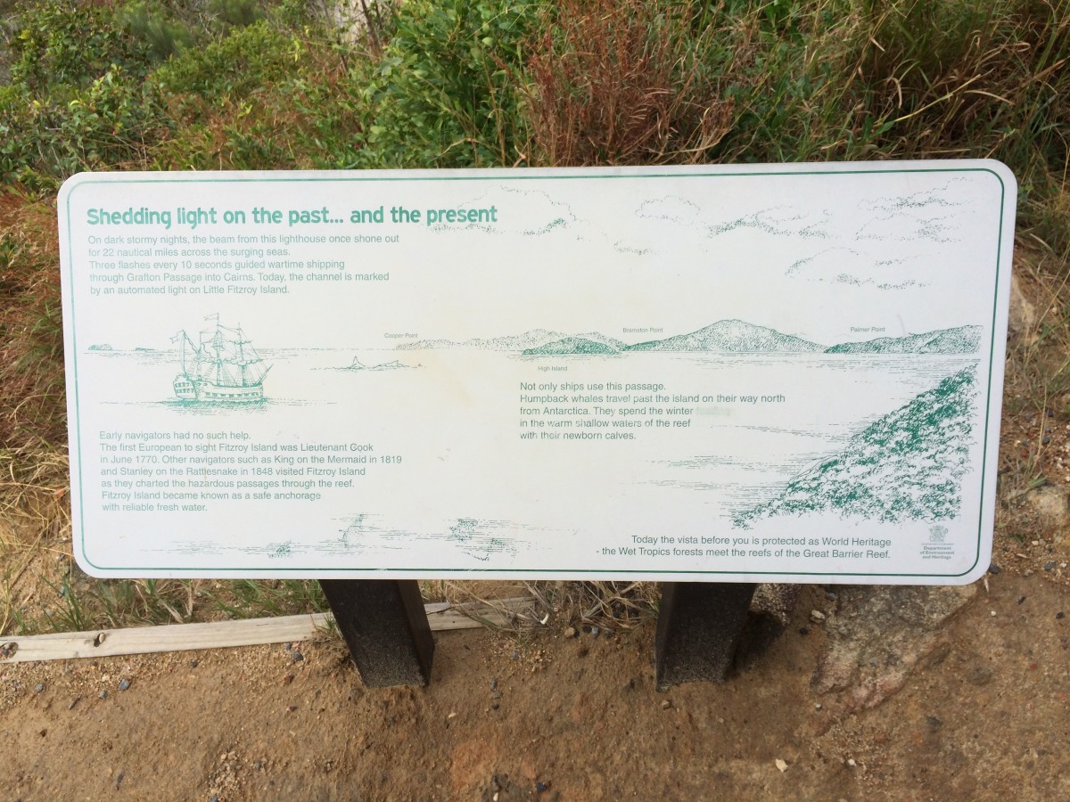
Given the complexities of sailing through the Great Barrier Reef, this was a key navigation aid.
It also has a very interesting history. We should come back to it some time.
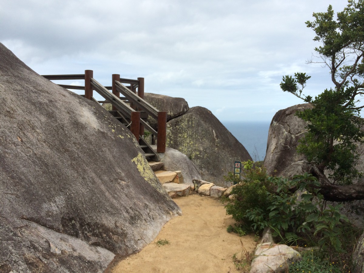
The summit viewing platform. Most high spots have a more difficult Yosemite Decimal rating.
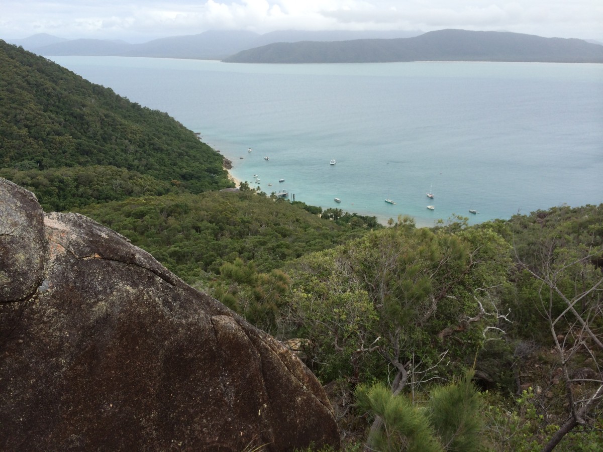
Looking back to the starting point.
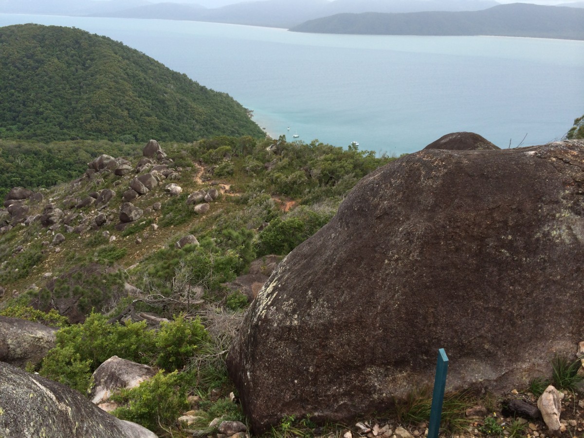
Closer to the starting point.
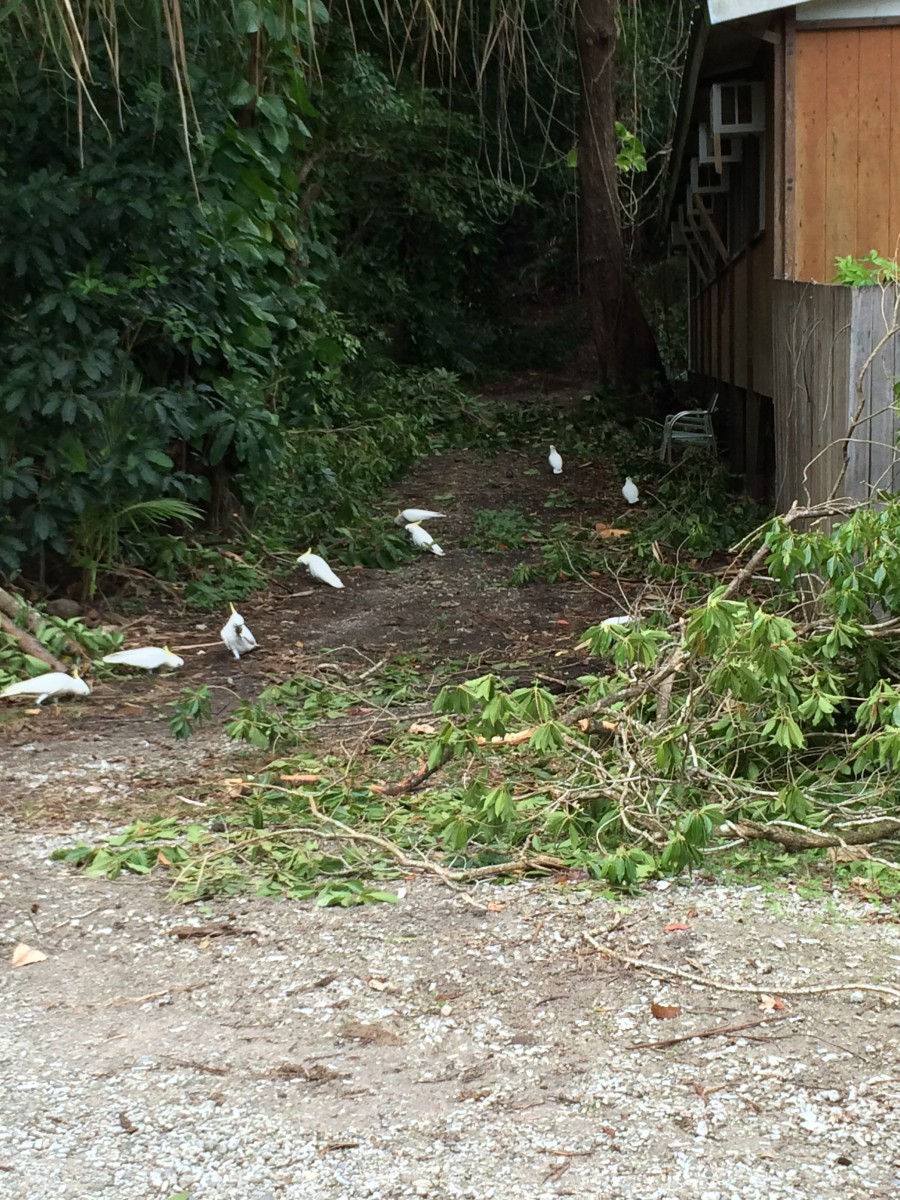
Sulphur Crested Cockatoos. A forbidden import to the USA, so here are
a lot of dollars just freely hanging around.
I've been trying to teach them to say "Hello Tourist".
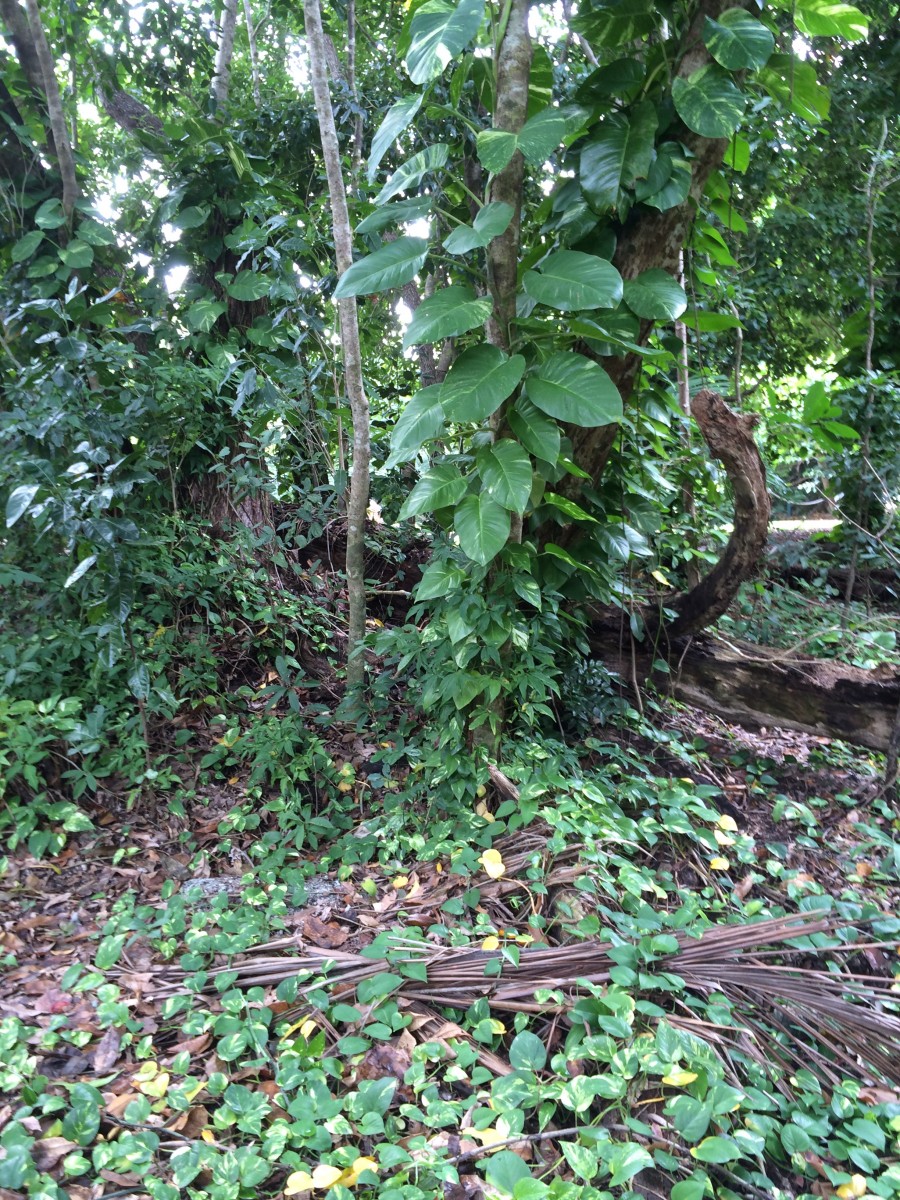
This is
Golden Pothos in the wild. Be thankful it doesn't grow to that size in your house...
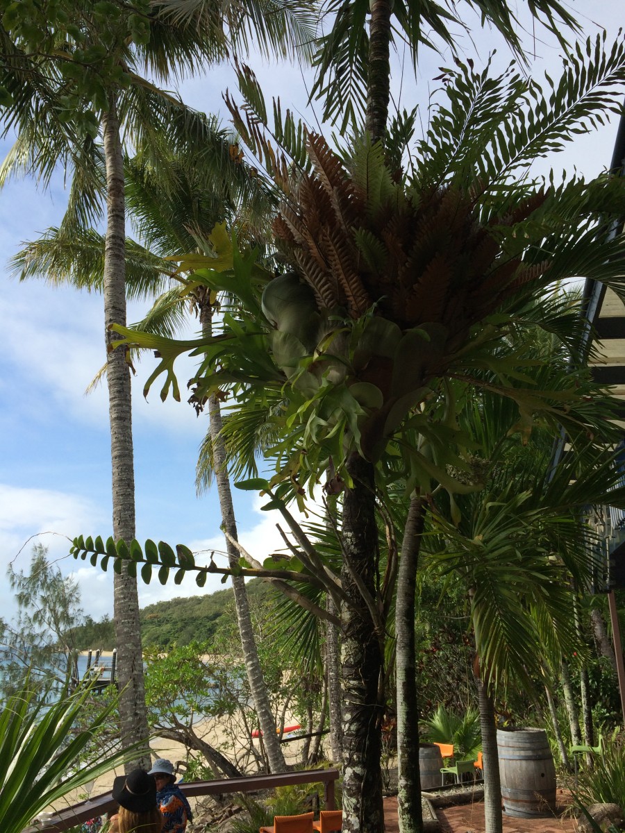
View from Foxy's Bar. The local Cooper's Original Pale Ale is similar to Sierra Nevada Brewery's Pale Ale.
I've been told that the weekend music is by a muso from a famous band. All I know is that he does CCR covers exquisitely.
You haven't lived until you have whiled away an hour or two at Foxy's.
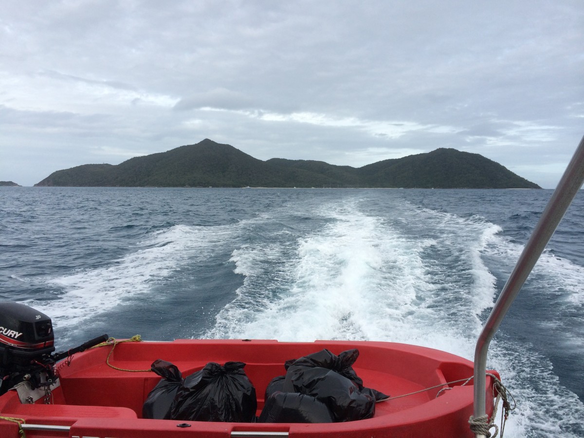
On the way home. The Lighthouse is visible on the left side of the main island.
The little guy on the left is Little Fitzroy, we plan to come ashore and claim it for the Whitney Zone some time in the future.
All in all, a lovely weekend. I took photos of the campsite with the waterproof camera, but they all leaked out...
That's another story altogether.
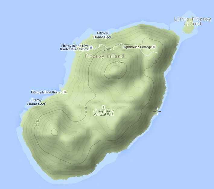
Here is the terrain, thank you GMap4.