knowledge of the New Army Pass Route to Whitney? - 12/15/09 04:47 AM
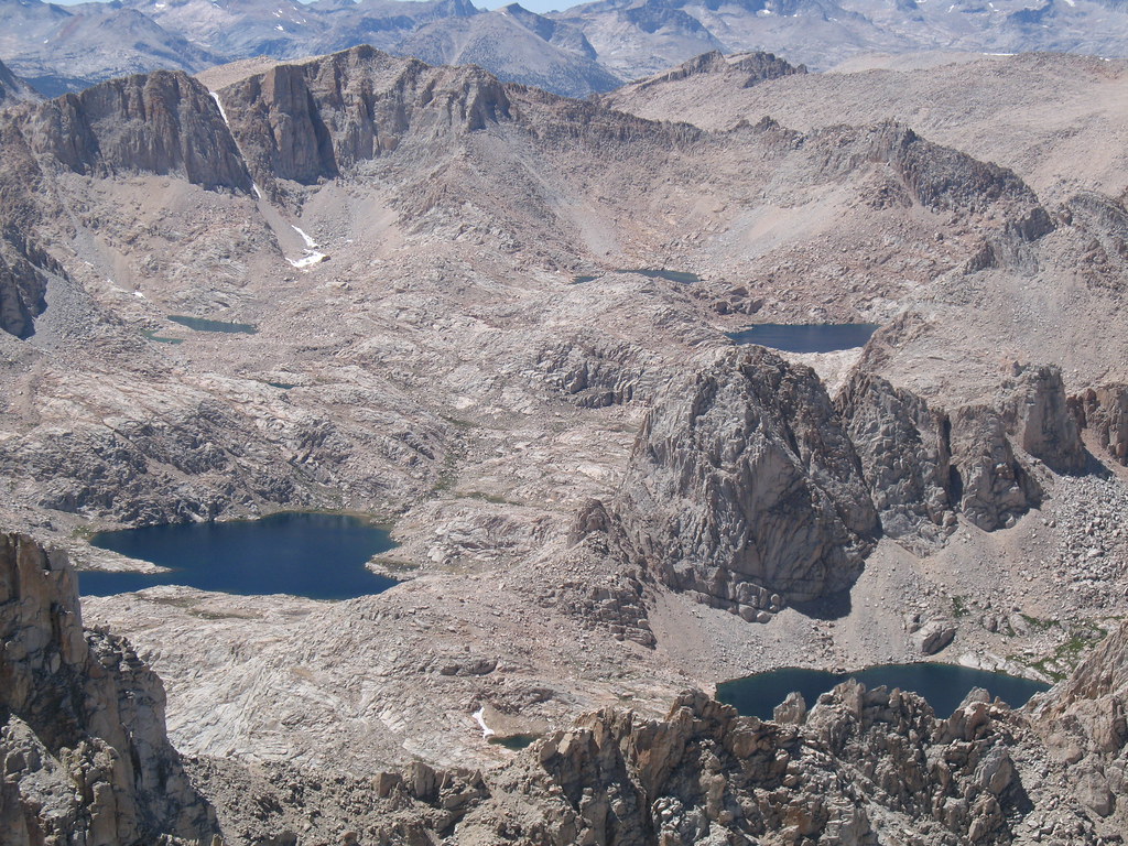
Reading Paul Richens 2nd edition book and his Route 10 new army pass route looks very interesting w/ a lot of lakes - but a fair amount of "cross country" hiking. Anyone familiar w/ this route? Thoughts? I'm putting together a group of three or four to try and hike Whitney this coming August and we will all be first time Whitney hikers with rusty multi-day hiking skills. The route is:
Horshoe Meadow to High Lake 6mi
High lake to New Army Pass - Red Saddle - Rock Creek - Sky-blue lake 11.8mi (mainly cross country)
ski-blue lake - crabtree pass - uppger crabtree lake - crabtree meadow/JMT - Guitar lake 5.8mi (lot of cross country)
Guitar lake - Whitney trail - Summit - Trail Camp 10.1mi
Trail camp - whitney portal 6.3mi
Its 36.9mi total over four to six days (five in his example) and looks very interesting but the x-c mileage makes me a bit nervous. Sounds like it is reasonably traveled, but I'm looking for some feedback on this route and appreciate your comments.
-cjd