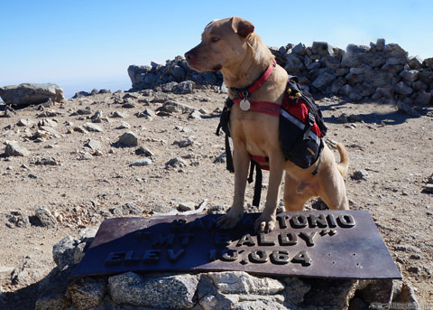
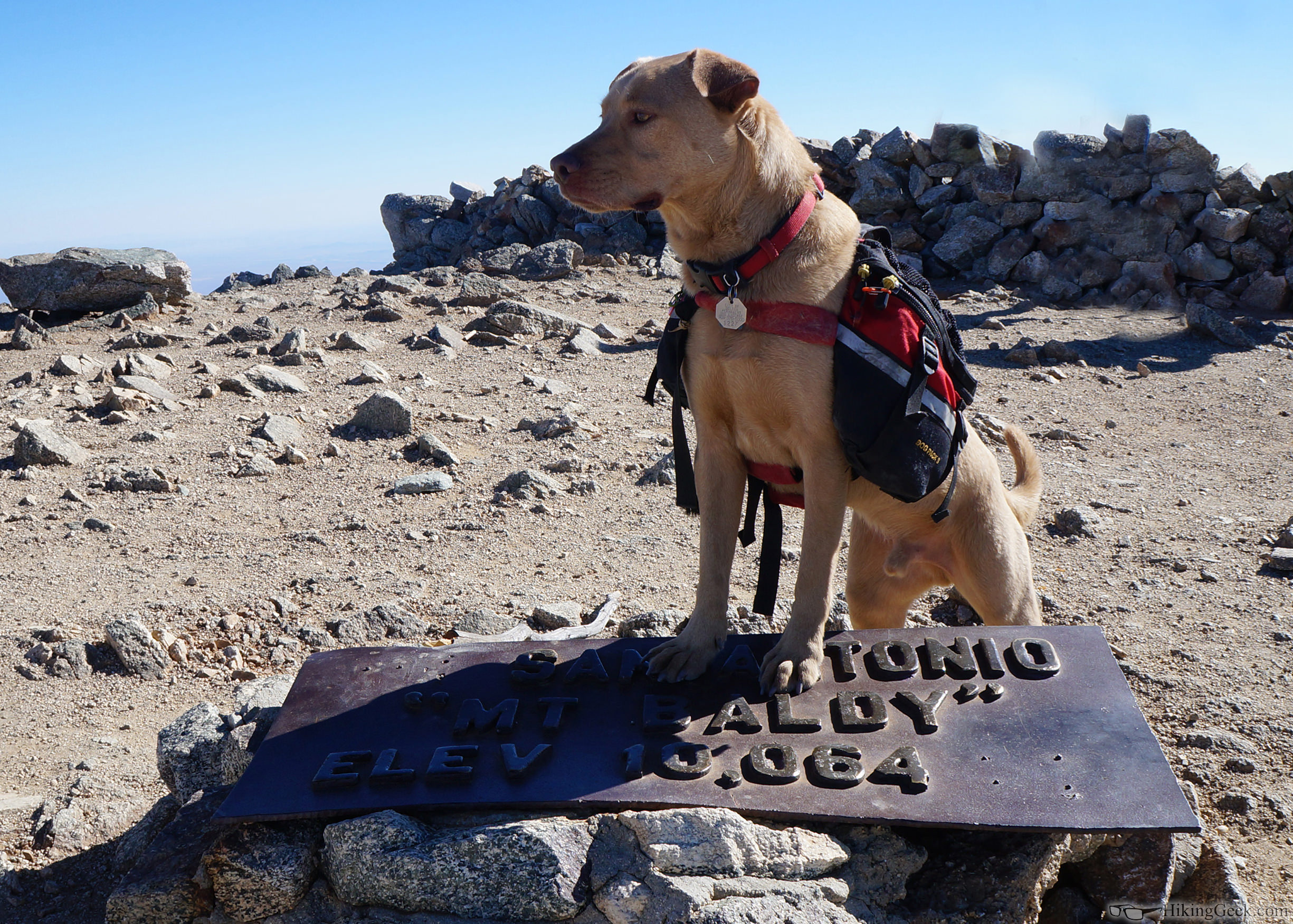
Looks like it was a great trip. I'm curious, what camera do you use? Some of those are amazing pictures.
Thanks! This was the kit I bought for around $500:
Sony Alpha NEX-F3 Mirrorless Digital Camera with 18-55mm f/3.5-5.6 and 55-210mm f/4.5-6.3 Lenses Bundle (Silver)
It's a nice tradeoff for photo quality vs weight. I don't typically carry the 55-210mm. I have been very happy with the camera.
63: Sounds like a nice setup. I had to look up the camera and the lens. Looks like camera (11 oz) and lens (7 oz) are just a little more than a pound.
I like that the sensor is so much larger (23.4 x 15.6 mm) than my Panasonic Lumix (6.08 x 4.56 mm); I am sure that really helps with the picture quality.
thanks for the info...maybe I'll start saving up that some day!
A piece of gear that I've found to be very helpful that I carry regardless of whatever camera I am using is the CapturePRO Camera Clip by Peak Design. Here is my review of it:
http://www.hikinggeek.com/2014/04/16/gear-review-peak-design-capturepro-camera-clip-propad/
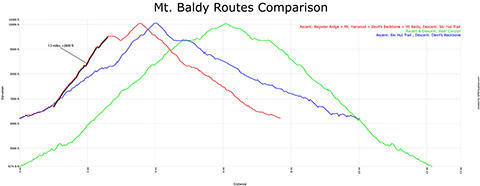
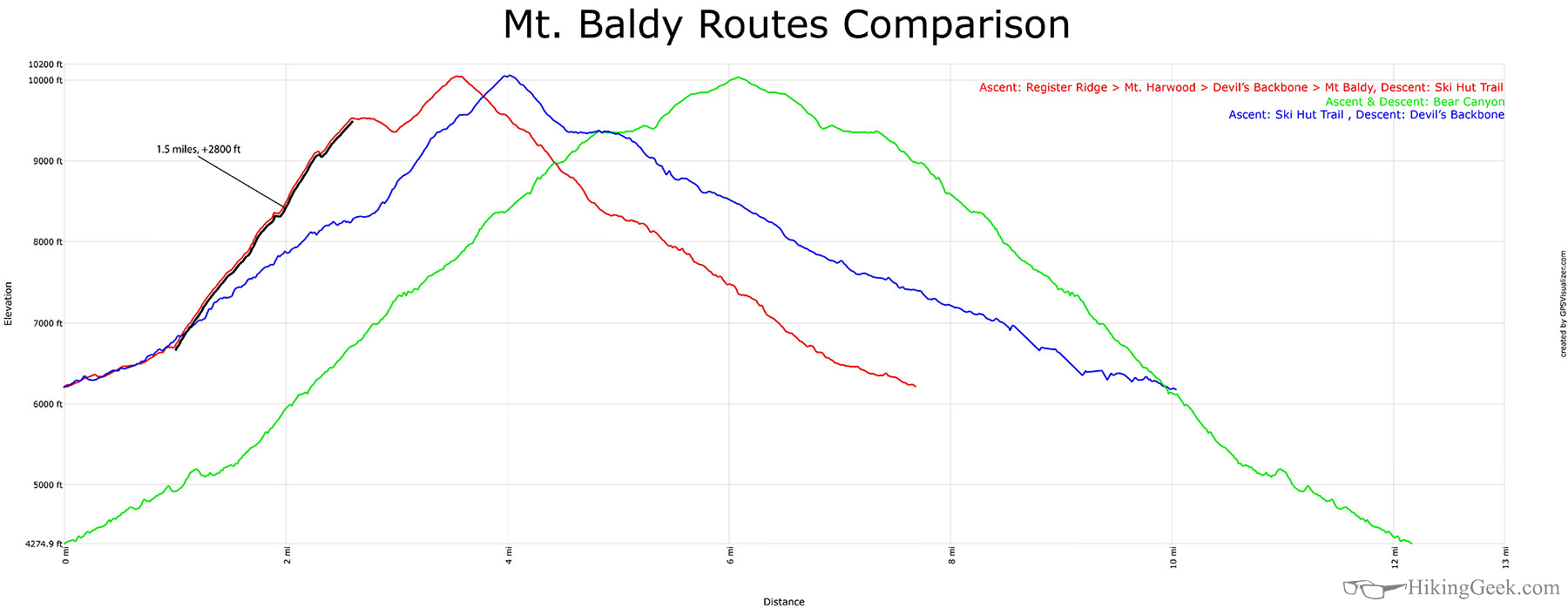
Pretty cool stuff. I like the diagram showing the steepness of the various routes.
I don't suppose you have the notch route saved in such a form that you could overlay it on top of the Register, Bear Flats, and Ski Hut trails. Or maybe even the North Devils Backbone (my favorite route) too? Having all five of the standard routes would be very interesting if it were not too much trouble.
HJ
Hi Jim,
Is the 'notch route' hiking up from the lodge after taking the ski lift? I have not heard of North Devil's Backbone.... is that from the Wrightwood side?
I have GPX files for most of these. I can put something together.
UPDATE: I've put something together. Will upload and post link when I get home.
Hi Jim,
Here are a couple of new graphs. I will add more as time allows:
http://www.hikinggeek.com/2014/12/26/route-comparisons-mt-baldy/