Mount Gould (13011 ft) and Dragon Peak (12933 ft)
June 11, 2016
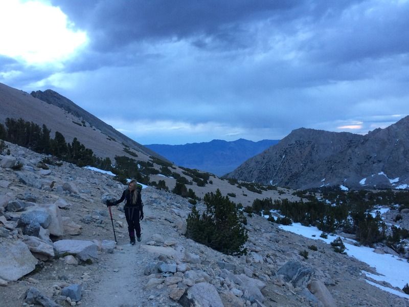
On Saturday, June 11, 2016, a team of four (Julian, Brett, Sarah, and I) set out on the Kearsarge Pass trailhead from Onion Valley. It was a quick 4 miles to Kearsarge Pass, where we stopped for a snack and watched the sun rise.
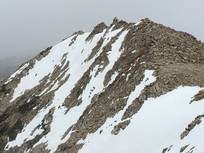
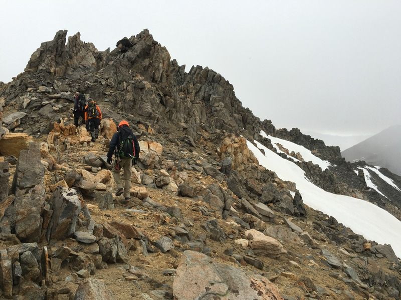
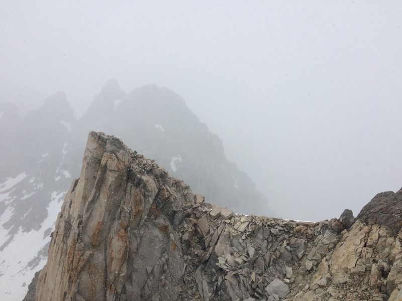
From here, we turned directly north up the ridgeline to Mt Gould, which provided fun scrambling over stable talus all the way to the summit block. The very summit is a large, flat-topped boulder which was just big enough to hold the four of us. There's an easy mantle on the west side of the boulder, or some exposed easy climbing on its east side. We snapped some photos and then continued north along the spiney ridgeline to Gould Pass, where we took a long food break and waited out some weather (clouds, drizzle, snow flurries).
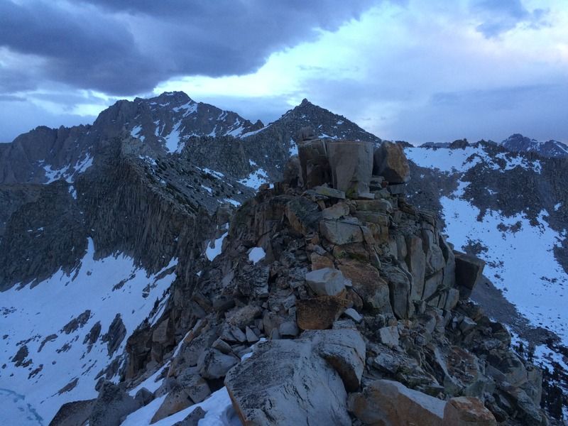
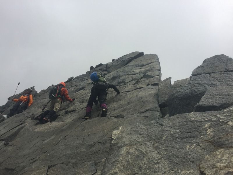
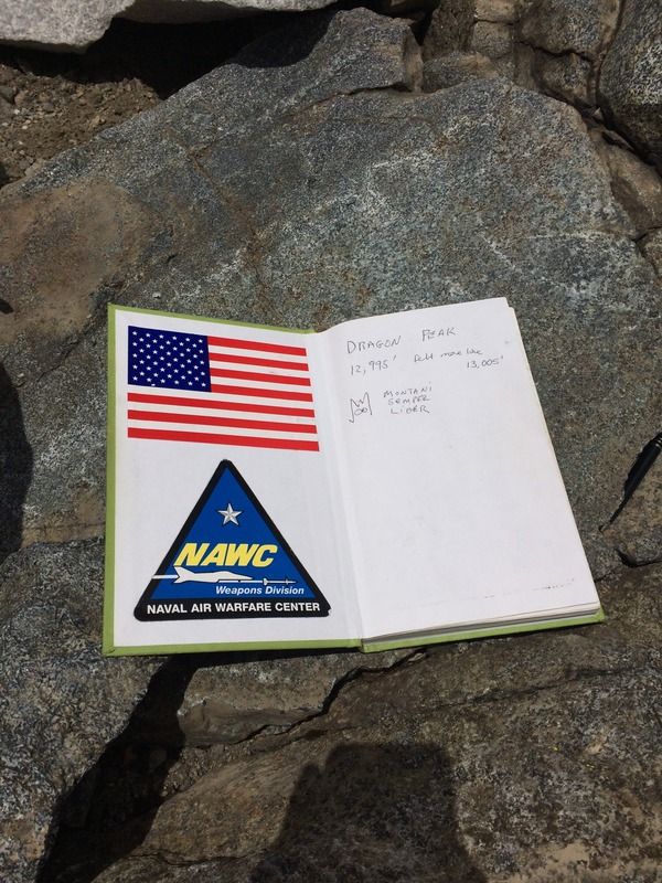
After a while, the clouds blew over and the sun peeked out. We continued along the ridgeline to Dragon Peak. More excellent class 3 and 4 scrambling brought us to the dreaded slab with the nice foot crack. This turned out to be a lot less intimidating in person. We cruised through this section and a few minutes later were at the summit, which is big and comfortable. We lounged for a while, ate, basked in the sun, and enjoyed the beautiful views of the clouds surrounding the peaks around us.
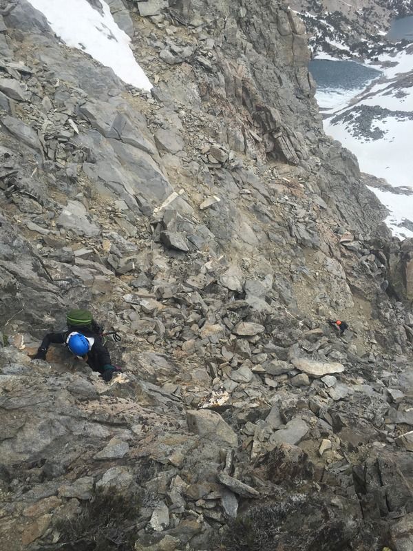
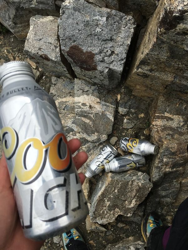
We debated continuing on the ridgeline north and then east to Kearsarge Peak, but we were running out of gas and the ridge looked like some difficult climbing. There are many small, steep chutes off the southeast side of the peak, and we weren't sure which one to descend. In my lazy hardheadedness, I chose to descend two of them in search of a quick way down, but got cliffed out and had to re-ascend, getting into some spicy low fifth class climbing. While I was expending the last of my energy, the rest of the group found a cache of four sun-faded Coors Light cans. A taste of the Rockies here in the Sierra! I think only Sarah and Julian drank any. We continued back along our ascent path and chose to pop down what I assume is the standard south chute route, which was filled with snow, softened by the warm afternoon.
I was hesitant to glissade down because I didn't have water-resistant pants on. Julian was leading, and making a smooth, controlled slide down. Meanwhile, Sarah was above, adamantly refusing to glissade. Snow conditions were perfect, so I bit the bullet, sat down, and slid. From here, we stayed pretty fractured. Julian was off at the front, I was moving very slowly behind him, and Brett was keeping Sarah company while she learned how to glissade on the lower angle slopes and took snapchats.
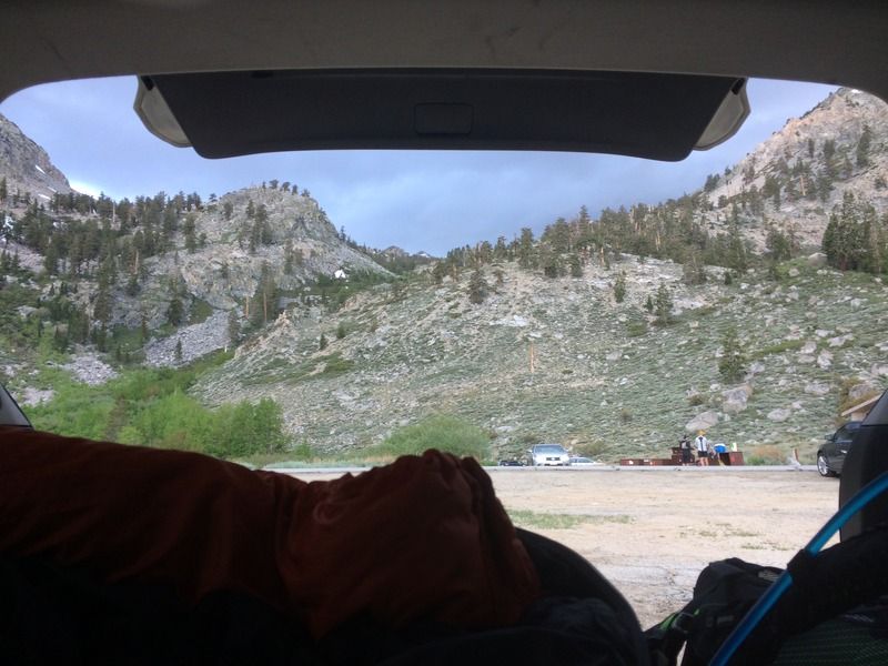
I stayed high on the south side of the upper unnamed lake before dropping down between the two lakes and catching the trail depicted on the USGS topo. The hike down paralleled the north fork of Independence Creek and the scenery was splendid. In the days leading up to the hike, I was worried that my knees/feet weren't going to make it - I wasn't feeling fully recovered from the weekend before. But everything held up fine, I was just out of gas and tired. Sea level to 13000 feet in 12 hours will do that. We all got to our vehicles, said our goodbyes, and I promptly passed out in the back of my car at 6 pm. Thunderstorms blew in, and throughout the night we were treated to an amazing light show and the sound of rain tinking on the body panels.
Gould-Dragon Timesheet
0230 - Wake up
0318 - Start hiking
0552 - Kearsarge Pass
0726 - Gould summit
1130 - Dragon summit
1738 - Finish
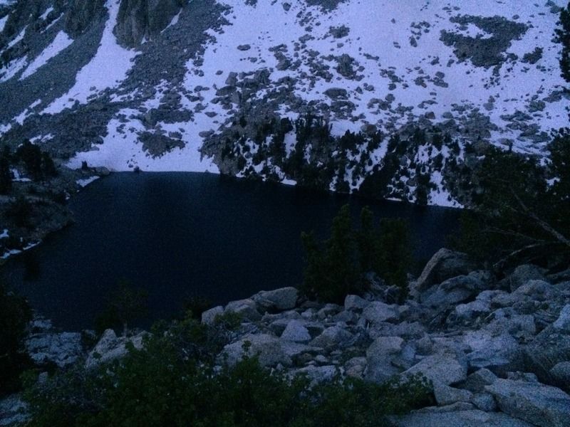
Pre-dawn above Heart Lake
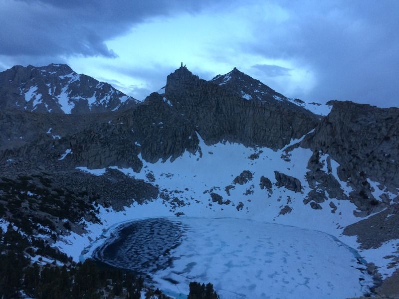
Looking south above Big Pothole Lake
Sarah approaching Kearsarge Pass
The view southwest towards Kearsarge Lakes
Facing south on the ridgeline
The group at Kearsarge Pass
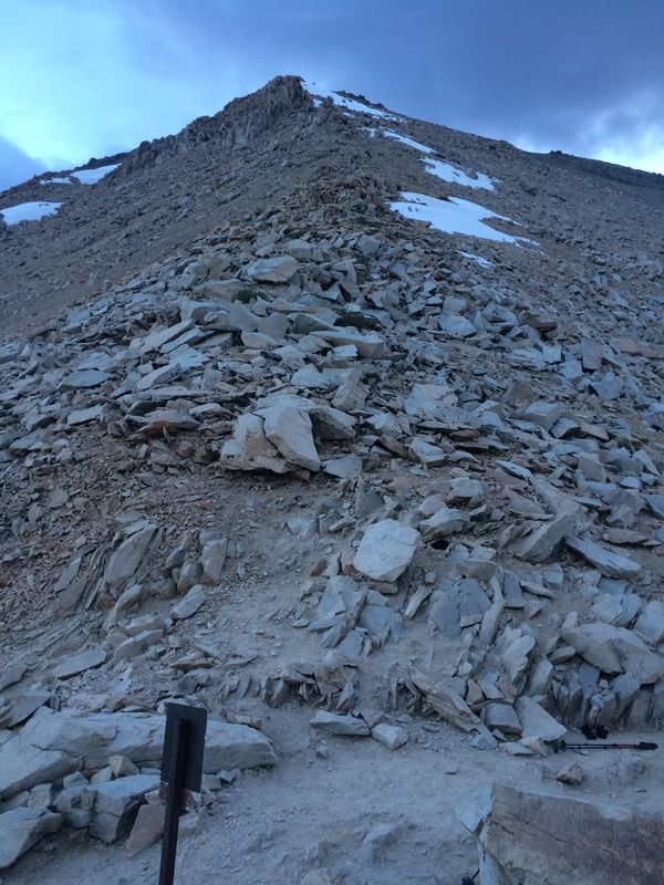
Looking up the ridge toward Gould
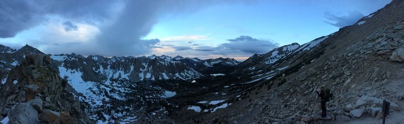
Southwest pano
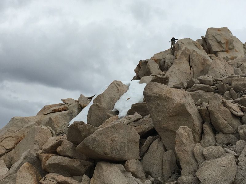
Scrambling near the top of Gould
Julian on the summit of Gould
Looking back toward Gould from the north ridge
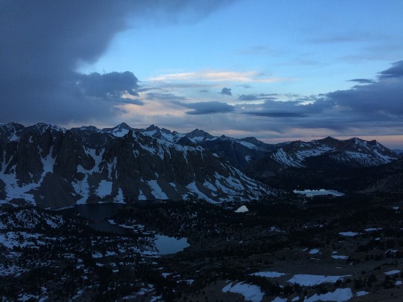
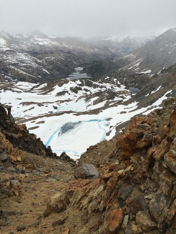
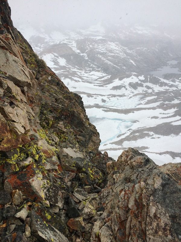
Unnamed bright blue lakes and Rae lakes in the distance
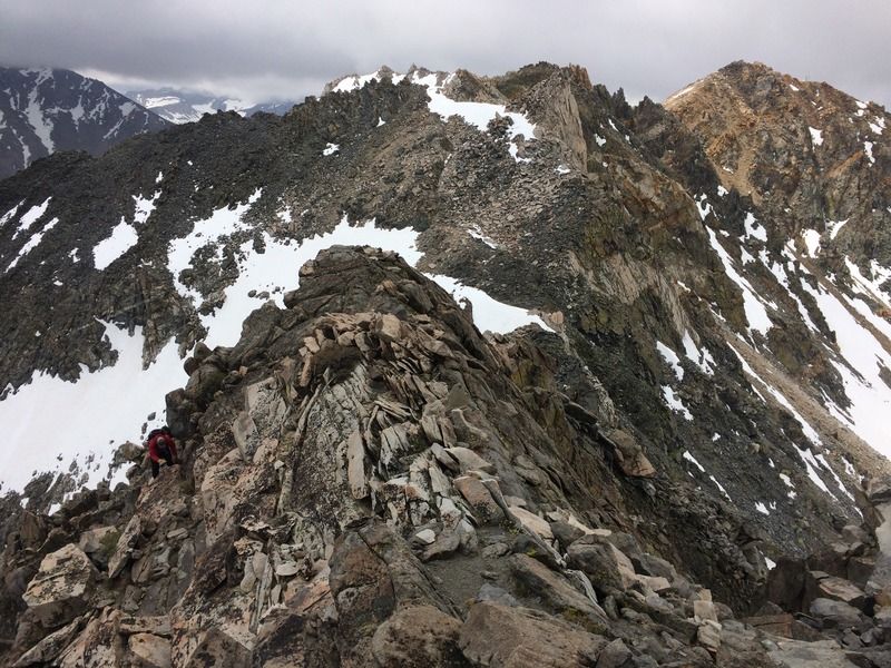
Traversing the ridge
Looking down
Weather rolling through
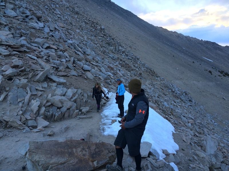
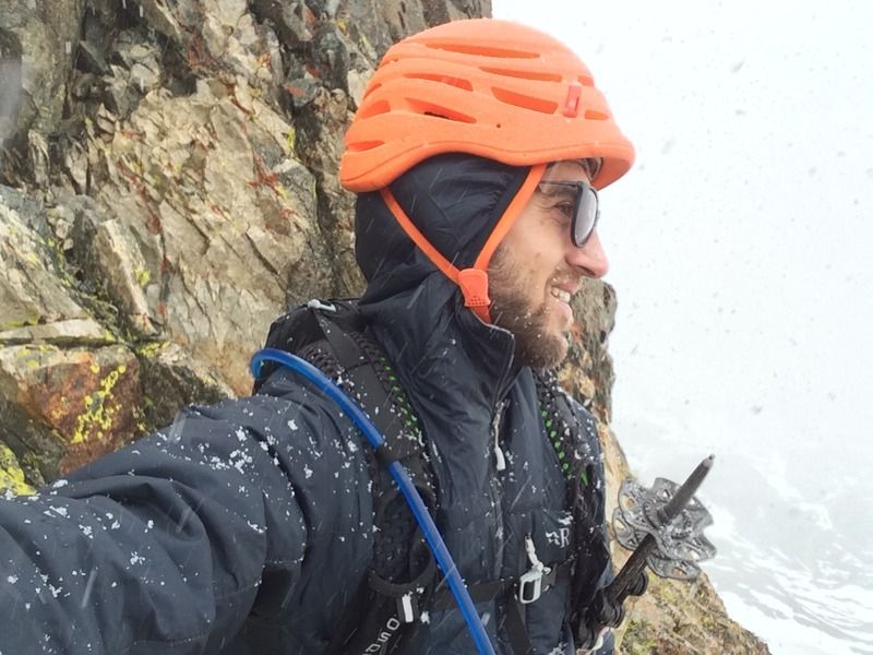
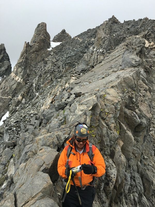
Safety first
Debating going up Dragon, in the clouds
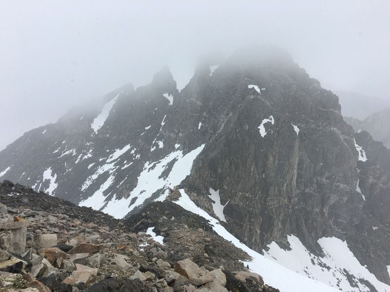
The sun said climb
Julian on the slab
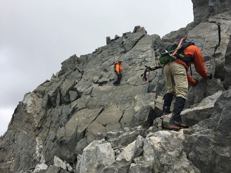
It's not bad
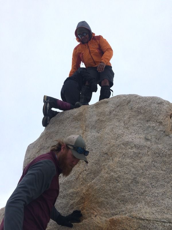
Summit register
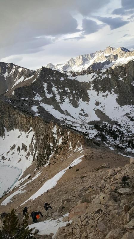
Descending
Beer!
Go for it
Amazing views
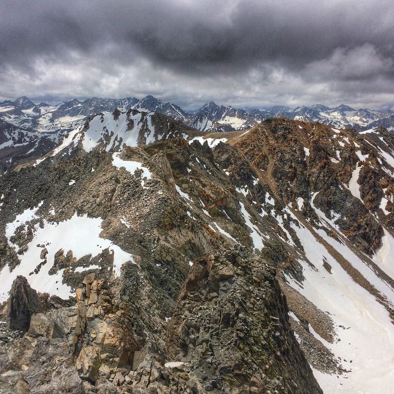
More amazing views
Vanlife, sleep!