I think I found two pictures that help pinpoint my location.
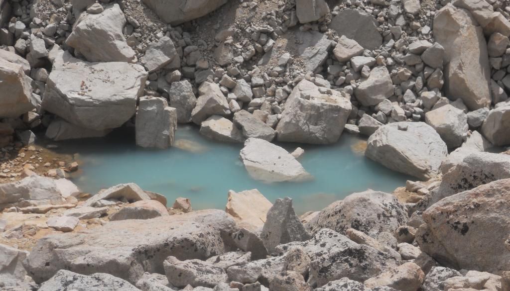
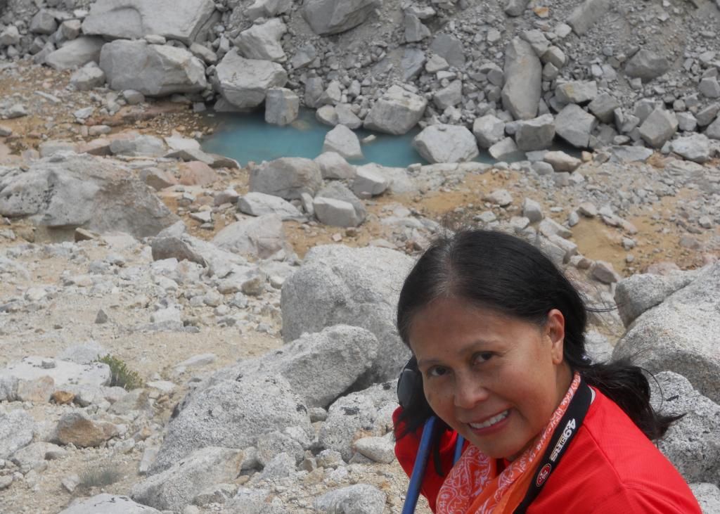
I may have been even further past this little "lake". I can clearly see this water and the distinguishing triangular rock in the center on your Gmap4 and Google Earth Views. The pictures I took appear to be taken from about the fifth broken line segment from the left denoting the "multiple use-trails area". And as I said, I may have hiked further than that point.


