Can someone post the UTM coordinate of the approximate place on the slabs where one needs to head left (away from danger) and onto the trail again?
I don't know what the coordinates are, but I could send you a gpx file for the area.
Without a GPX file or coordinates though, I'll think you'll be fine. It sounds like you are careful and you know that there is a problem here. Instead of looking at a GPS unit, you may be better off keeping your head up and being aware of your surroundings. Take your time as you pass through this area. If possible plan your descent in the daylight, or at least be below Mirror Lake by sundown.
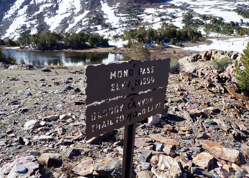
The signs are made of thick steel with laser cut lettering, welded to a sturdy steel post sunk into the ground.
Are they like these signs?

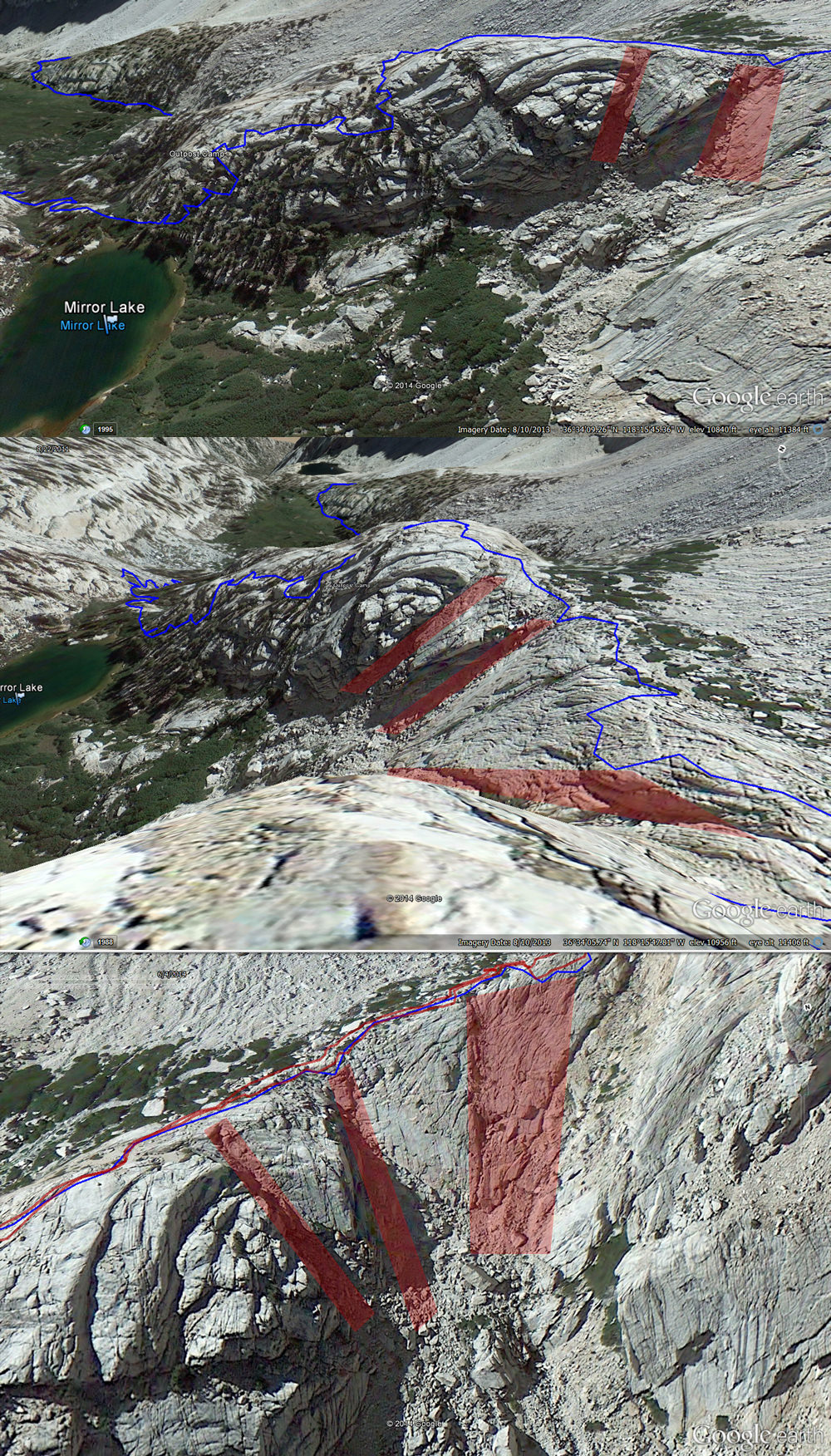
It would helpful to know where the accident happened, as well as where the accident from two years ago happened. Since they are saying that the body was found down a steep chute, I wonder if he fell before the 'turn left' area. Google Earth distorts things a bit, but it seems that there are a couple of really steep chutes further up the trail. A couple of weeks ago, I vaguely remember getting off trail a bit on our descent, looking off a ledge to my left and thinking, 'We're not supposed to be here' then heading to our right until we found the trail.
